


le barroux

FLORENSAC
User
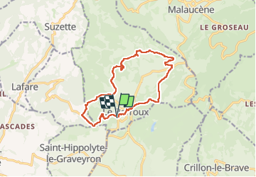

Length
14.2 km

Max alt
395 m

Uphill gradient
370 m
Km-Effort
19.1 km

Min alt
258 m

Downhill gradient
370 m
Boucle
Yes
Creation date :
2025-04-23 07:23:47.391
Updated on :
2025-04-23 14:04:23.154
6h39
Difficulty : Very difficult

FREE GPS app for hiking
 SityTrail
IGN / Geographical institutes
SityTrail Plus
The world is yours!
About
Trail Walking of 14.2 km to be discovered at Provence-Alpes-Côte d'Azur, Vaucluse, Le Barroux. This trail is proposed by FLORENSAC.
Description
une variante en boucle
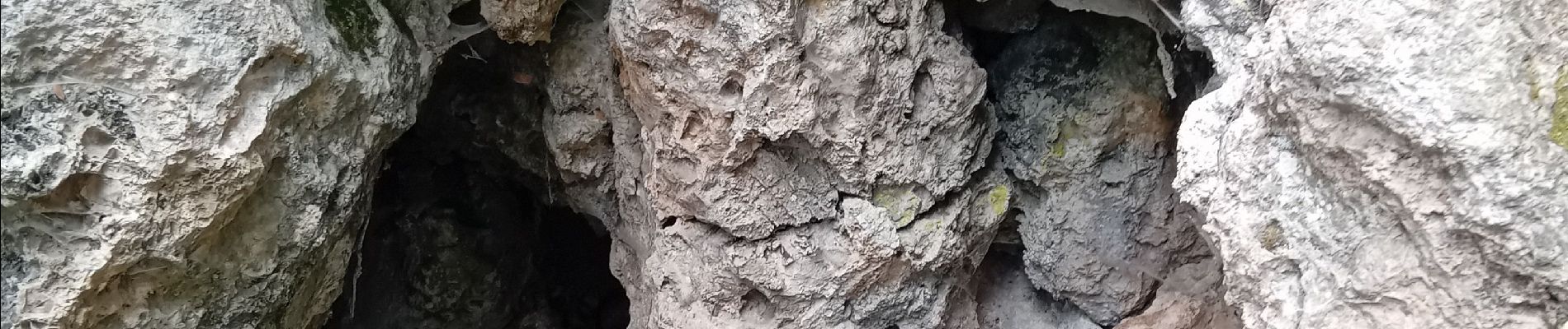
Photos


Positioning
Country:
France
Region :
Provence-Alpes-Côte d'Azur
Department/Province :
Vaucluse
Municipality :
Le Barroux
Location:
Unknown
Start:(Dec)
Start:(UTM)
667695 ; 4889096 (31T) N.
Comments